Ortelius 2.2.3
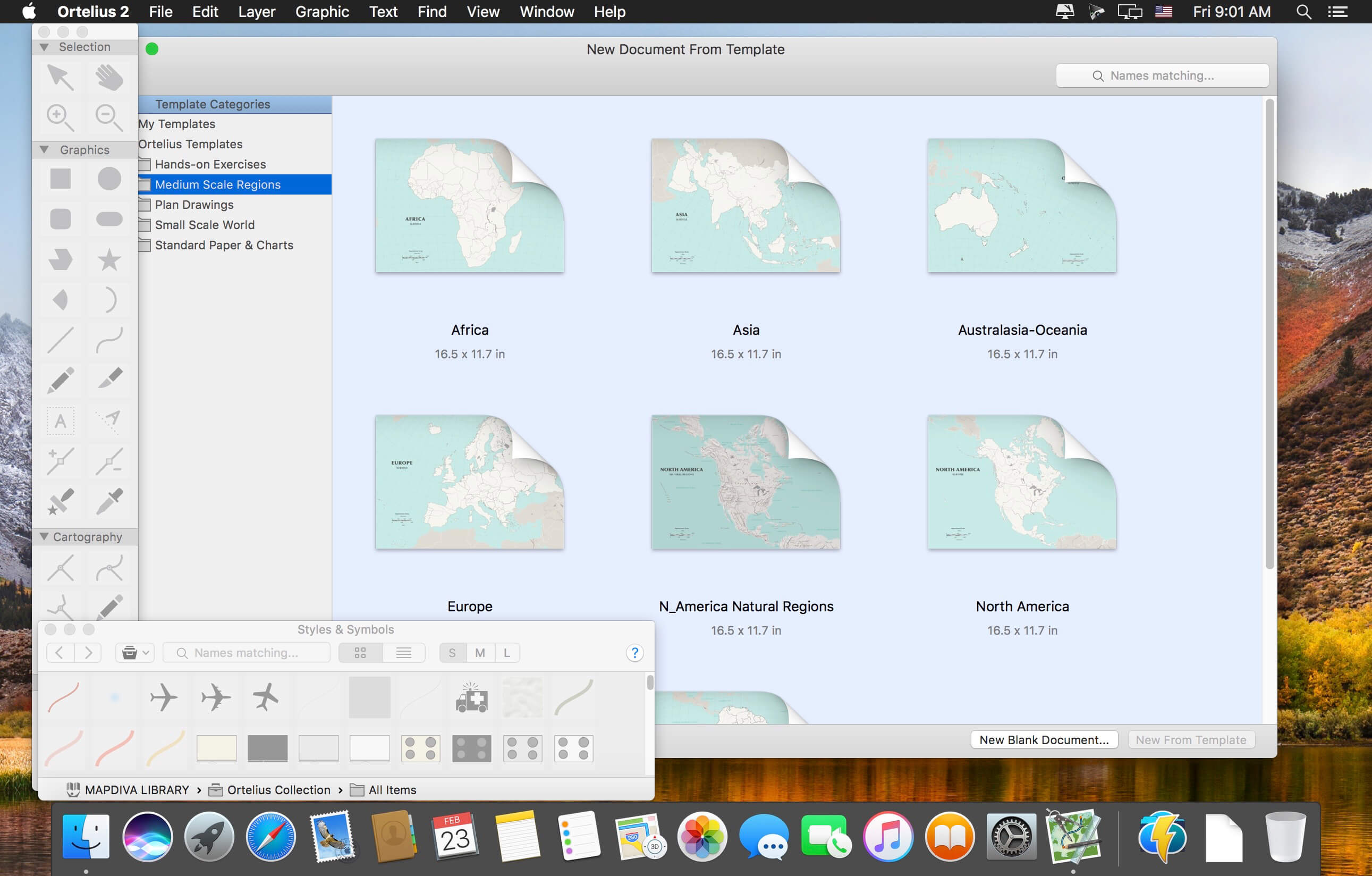
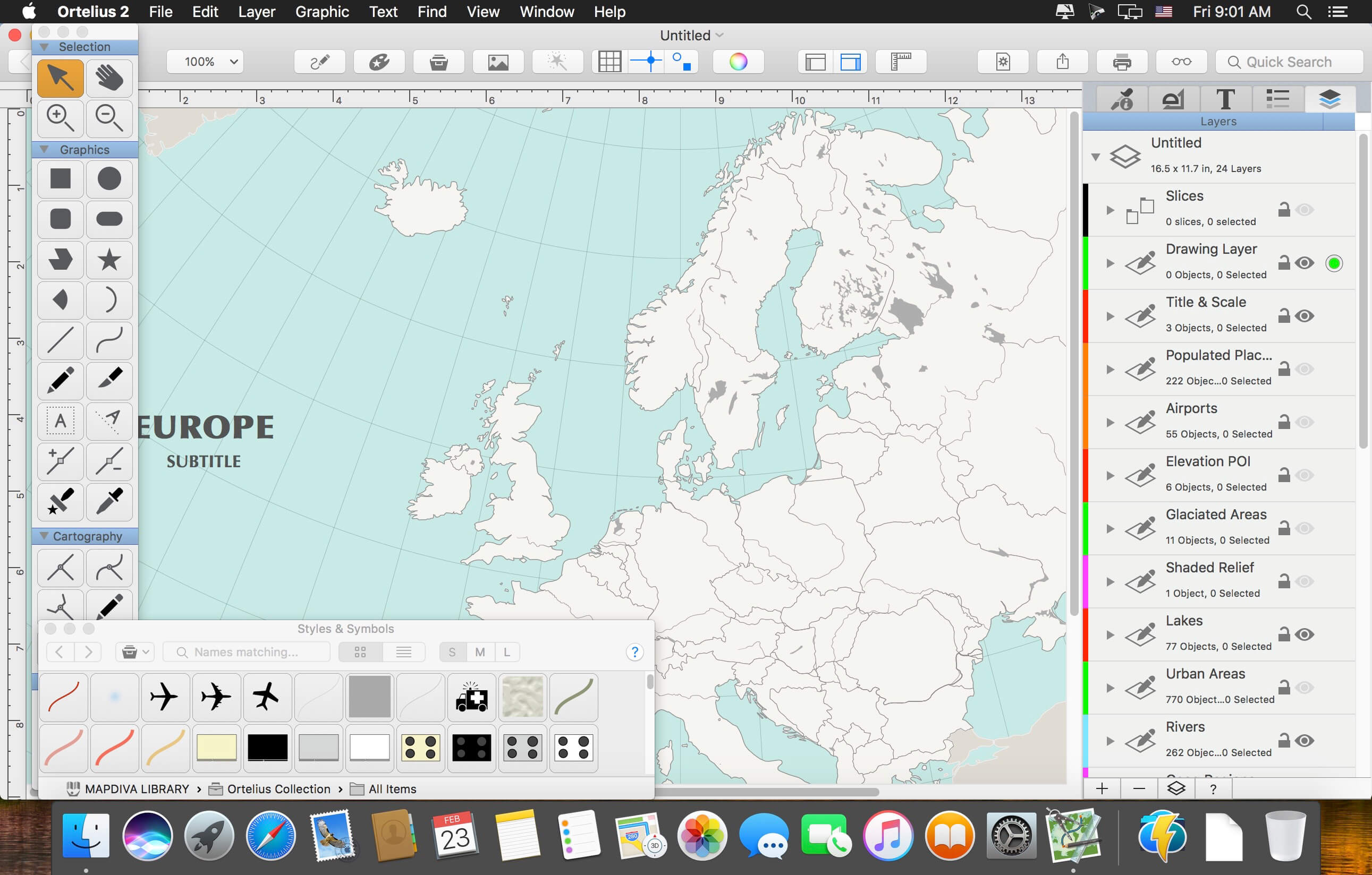

Ortelius is a full-featured vector drawing application especially for map design. Draw directly with features such as roads, rivers, coastlines, buildings, symbols and contours. Ortelius is known for its unique "connectable tracks" and expert stacked styles that make drawing tedious map features easy. Every object supports attribute data that can be referenced by text labels, and everything can be directly drawn and positioned simply by dragging and dropping. Though Ortelius is emphatically not a GIS, it does have limited support for importing shapefiles (refer to documentation for best results; re-projection is not supported). Powerful and extensive text features give you a fine degree of control over labelling. Create your own styles and symbols or use any of the many hundreds built-in. Layers and layer groups keep your work organized.
Version 2.2.3:
- Release notes were unavailable when this listing was updated.
Frequently asked questions
How do I install the app?
Mount the image, drag the app into the "Applications" folder and launch it. If the system blocks the launch, allow it in "System Settings → Privacy & Security".
The app is damaged or won't launch
Reinstalling from a fresh image usually helps. Make sure your macOS version matches the one listed in the compatibility specs.
How do I update?
Download the new version from the site and install it over the current one — your settings will be preserved.
The download link doesn't work
Try a mirror or a download manager. For large files the browser often drops the connection.
How do I completely remove the app?
Use an uninstaller utility — it cleans up the service files that remain after moving the app to the trash.
VersionOrtelius 2.2.3
DeveloperMapdiva, LLC
CompatibilityOS X 10.9 or later, 64-bit processor
LanguageEnglish
IncludesK'ed by TNT



Information
Visitors in the group Guests cannot leave comments on this publication.
Choose a download source
Ortelius 2.2.3 · 89.62 MB